
AND RESTORE INDIAN CREEK
C/O Pat Blankenship
6014 Osage Street
Berwyn Heights, MD 20740
Phone: 301-474-4875

|
|
CITIZENS TO CONSERVE AND RESTORE INDIAN CREEK C/O Pat Blankenship 6014 Osage Street Berwyn Heights, MD 20740 Phone: 301-474-4875 |
|
|
Page 4 Back to Photo Album
|
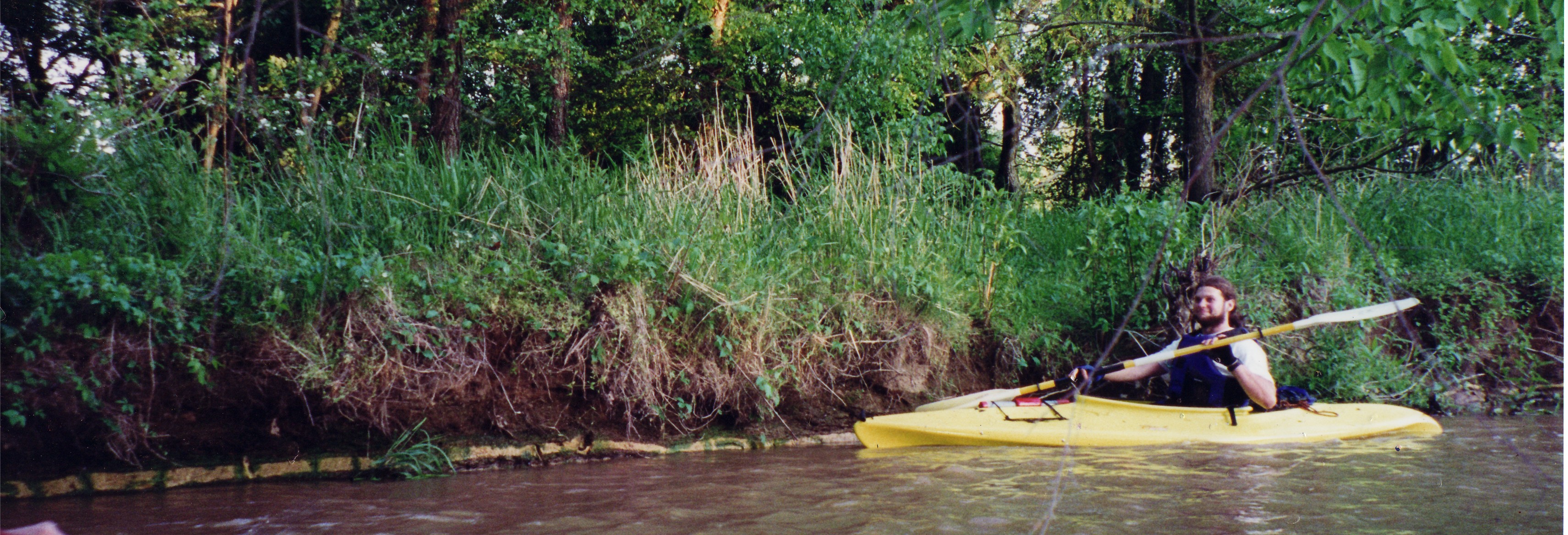 Indian Creek lies wholly within the Coastal Plain geologic region. It meanders through relatively flat land, unlike its neighbors to the west, paint Branch, whose steep gorges typify Piedmont streams until it drops over the Fall Line and joins Indian Creek.
Regular floods deposit layers of sand, gravel and clay on through the flat, open forest if Indian Creeks floodplain.
Indian Creek lies wholly within the Coastal Plain geologic region. It meanders through relatively flat land, unlike its neighbors to the west, paint Branch, whose steep gorges typify Piedmont streams until it drops over the Fall Line and joins Indian Creek.
Regular floods deposit layers of sand, gravel and clay on through the flat, open forest if Indian Creeks floodplain.
|
