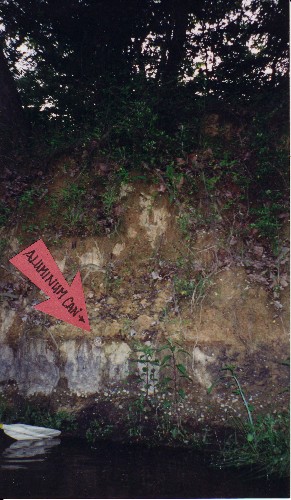
In the gravel mine, the land abutting the stream haas been filled and raised by earth-moving equipment as gravel piles have been moved around for much of a century. In places the banks loom 20 feet above the water. Below, an aluminum can appears to mark the geologic boundary between natural floodcycle sediment strats and a deep layer of non-stratified dirt--possibly pushed there by a bulldozer.

|
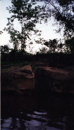
 Concrete poured on the creekbank dries and cracks in slabs as natural erosion occurs. For the gravel mine to be restored to a healthy floodplain and wetland state, this concrete, the "concrete mountain," and other patches of "moonscape" will have to be cleaned out.
|


